|
View: 5857|Reply: 6
|
MALAYSIATRAVELLER✿ Hiking Bukit Kembara at Ampang, Kuala Lumpur
[Copy link]
|
|
|
Bukit Kembara Hike
Ampang, Kuala LumpurBukit Kembara is a modest hill around 270 metres above sea level located in the Taman Tun Abdul Razak area of Ampang on the eastern outskirts of Kuala Lumpur.
It is a good place for a short but vigorous hike, not just for the hill itself but because there is a tranquil lake behind with a walking path all the way around. Kembara translates as ‘adventure’ and you can enjoy a pleasant 1 1/2 - 2 hour outing on this hike.
The HikeThe trail begins on Cangkat Bukit Indah 2 opposite Emerald Hill Condominium (GPS Coordinates of trail head: 3.158312, 101.775266).
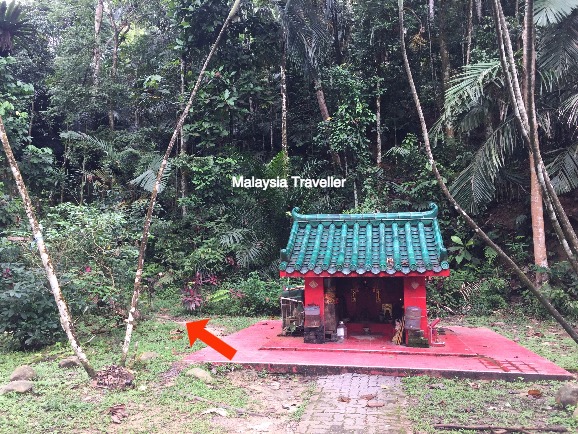
The trail starts just to the left of this shrine.
A peek inside the shrine shows that it is shared by multiple faiths including Buddhists, Taoists, Hindus and followers of Sai Baba.
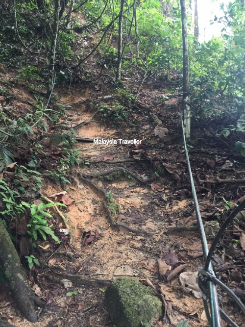
A good thing about this trail is that it is marked along much of its length by stretches of hose pipe, making it more difficult to get lost.
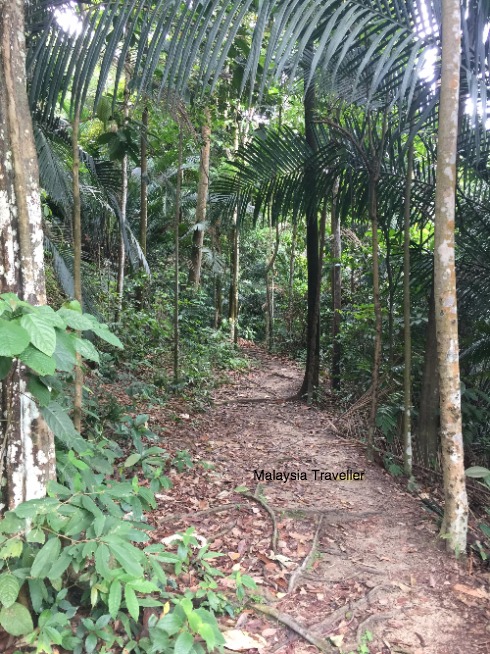
Although the trail is not long, it is quite steep. A stick or trekking pole is useful. After 5-10 minutes there is a flat stretch before the trail climbs sharply again.
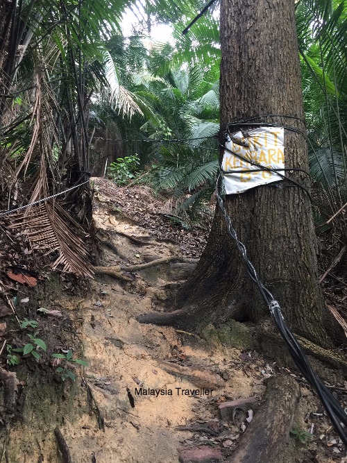
You will pass this sign…
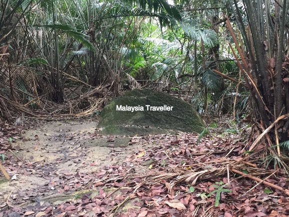
… and this rock …
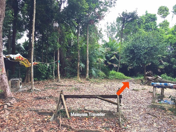
…before arriving at a clearing with a couple of battered benches. This is the summit of Bukit Kembara. Unfortunately there is no view to enjoy but the trail continues downhill for another 10 minutes towards the lake.
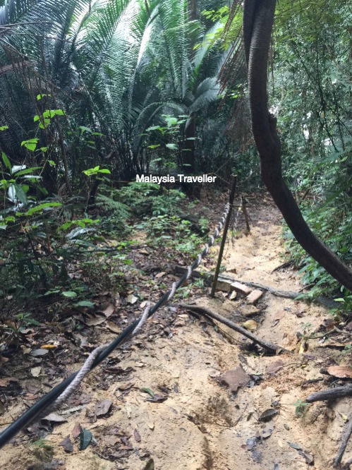
The downhill stretch is very steep and rather muddy after rain but again there are ropes and hosepipes to assist you.
Finally you reach the path which goes around the lake. You can go clockwise or anti-clockwise and arrive back at the same place.
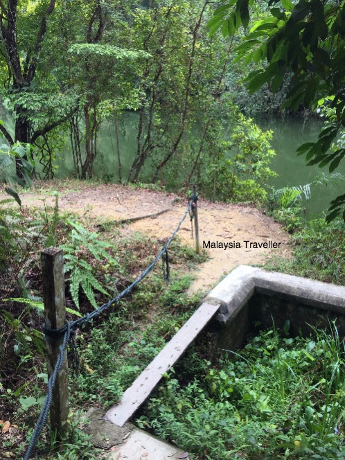
Walk the plank.
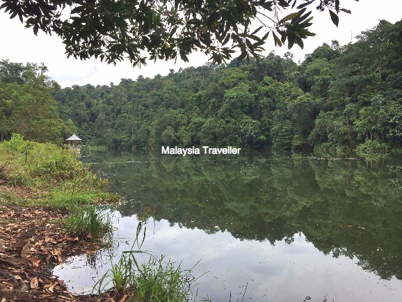
The lake is actually an old reservoir called the Ampang Impounding Reservoir, which was built in 1892 and was the first reservoir built to supply drinking water to Kuala Lumpur with a capacity of over 37 million gallons. By 1906 KL’s population had grown to 33,000 and it was decided to build a second reservoir at Weld Hill (now Bukit Nanas at the foot of KL Tower).
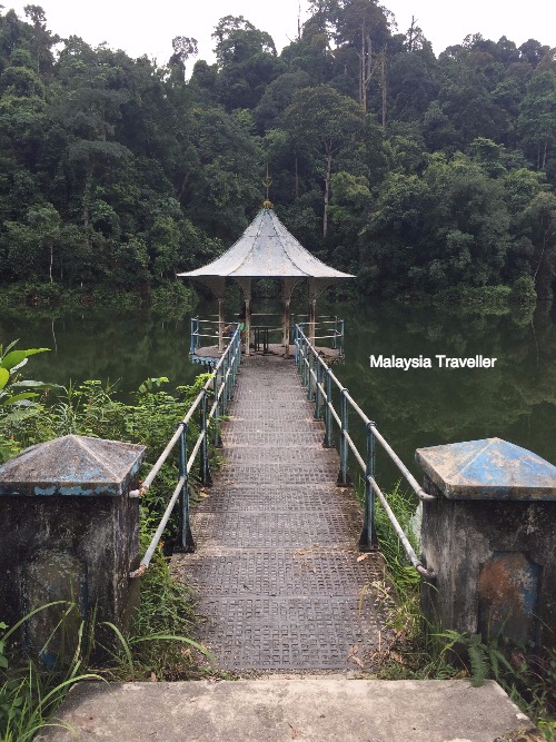
A short metal pier leads to an inspection shaft topped with a shapely pergola.
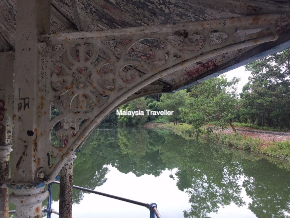
The ornate Victorian ironwork holding up the roof of the pergola look like it may be the original from the 1890s.
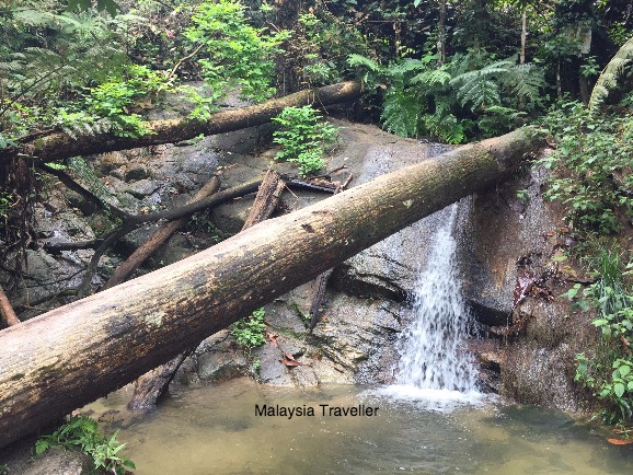
The environment around the lake is peaceful, clean and unspoilt. According to the Malaysian Nature Society it is a great habitat for snakes, lizards, frogs and turtles.
Distance CoveredAccording to the Health gizmo on my phone, the distance walked (there and back) was 3.5km or 5,902 steps, equivalent to 60 floors climbed.
Highest point is 270 metres above sea level.
Time taken:
Start to Peak: 20 minutes
Peak to Lake: 10 minutes
One circuit around the lake: 30 minutes
Return to Start: 30 minutes
Total 90 minutes.
If you want to see the lake but do not fancy the strenuous hike up and down the hill there is an easier and much shorter trail which starts on Jalan 1 near the Kelab Darul Ehsan golf course and only takes about 10 minutes but I haven’t tried that one yet.
What to BringThe usual: water, snacks, insect repellent, comfortable shoes, hiking pole, mobile phone.
I was bitten by a tiny leech on this Bukit Kembara hike so be warned!
How to get to Bukit KembaraThe start point is shown on this interactive Google Map:
GPS Co-ordinates of the starting point.
3.158312, 101.775266
Address of starting point:
Cangkat Bukit Indah 2, Taman Bukit Indah, 68000 Ampang, Selangor, Malaysia
|
Rate
-
1
View Rating Log
-
|
|
|
|
|
|
|
|
|
|
|
|
Very interesting. Kalau interdistrict dah bukak, saya nak try ke sana. Lama dah tak hiking. |
|
|
|
|
|
|
|
|
|
|
|
|
laaa ni dekat rumah I ni.... |
|
|
|
|
|
|
|
|
|
|
|
|
anyone ada idea utk wiken ni port mana yg best nk chill2 lepak2 hike2 manja manja2 |
|
|
|
|
|
|
|
|
|
|
|
lifeline replied at 20-9-2021 11:02 AM
anyone ada idea utk wiken ni port mana yg best nk chill2 lepak2 hike2 manja manja2
Bukit tugu |
|
|
|
|
|
|
|
|
|
|
|
Bukit Besi, Alam Damai Cheras
|
|
|
|
|
|
|
|
|
|
| |
|